
The City of Newton GIS Office publishes the Newton Walking Trails and Open Space map, which can be viewed using the web browser on any device.
The map includes many of the features found in the maps on this website and in the Avenza map called Newton Trails Map.
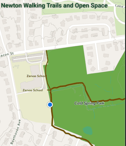
The city map, when opened on a cell phone, can display the user’s location as a blue dot. But getting the blue dot to appear takes a bit of work.
Here’s a view of the map on a cell phone:
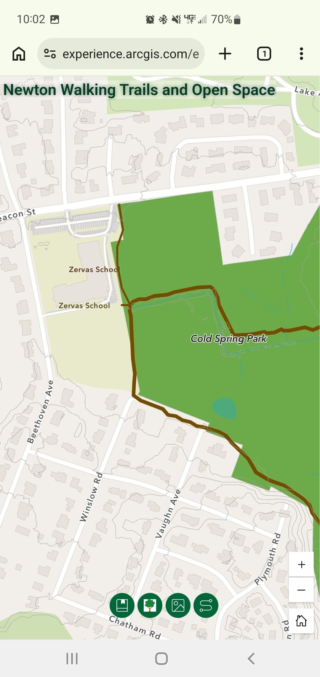
Note the row of icons at the bottom:
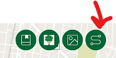
Tap the right-most button. The bottom of the screen will now look like this:
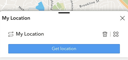
Tap the “Get location” bar. Your location should now appear as a blue dot on the map:
If instead you get an error message that your location can’t be displayed, you need to go into the Settings app on your phone and allow your web browser to find your location.
If you have an iPhone, go to Settings > Privacy & Security > Location Services and switch it on. Then scroll down to the web browser that you want to use your location and select While Using the App . (More from Apple.)
If you have an Android phone, go to Settings, tap Location, and turn Use location on. Then, if needed, open App permissions and set your web browser to Allow only while using the app . (More from Google.)