
Avery Woods
Overview
Woodland with vernal pool, old oak forest, hilly terrain, and stone memorial to Avery family.
Size: Approximately 6 acres of open space (the original land parcel, which includes Day Middle School, totals 8.6 acres) Longest Walk: 0.2 miles Acquired: 1959
Maps
Locator Map and Driving Directions
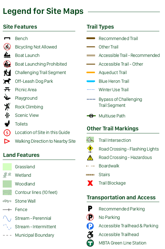
Trail Map
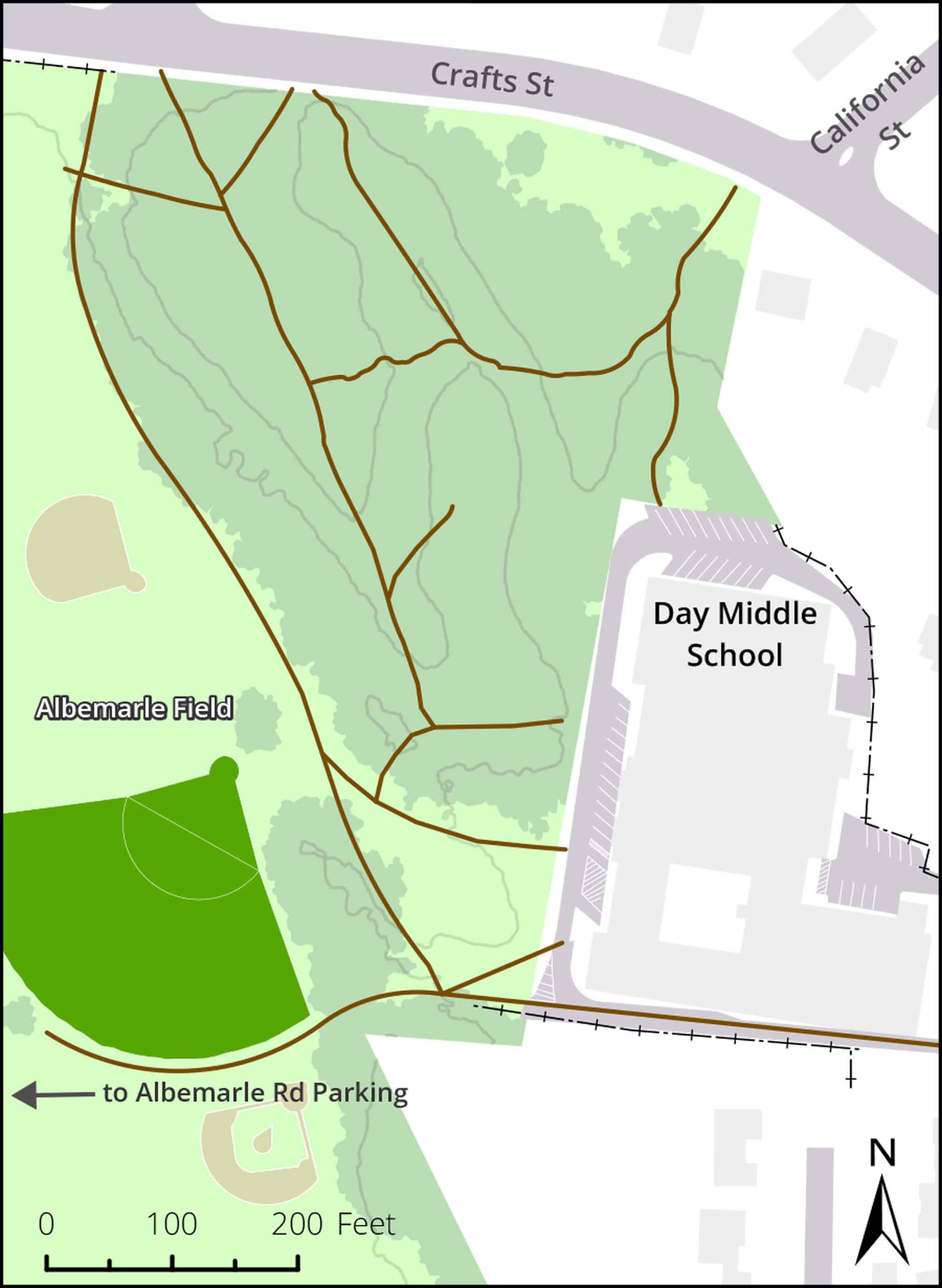
Click map for larger image •
Owner & Administrator Websites
Photo Gallery


First three photos shown here. Click a photo to view the complete slideshow or click here to browse the complete gallery.
History
before 1886
Property acquired by wool merchant Charles F. Avery, who served as Newton alderman from 1908-1911.
1922
Charles F. Avery dies at age 75. Newton Graphic reports he was “for many years one of our leading citizens and a man loved and respected by a wide circle of friends and acquaintances.” Property owned by Elisha, one of Charles’s three children, who was also a wool merchant.
about 1959
Elisha Avery dies. His widow, May Avery, lives in the family home on Crafts Street for several more years.
1959
Avery family sells eight acres to City of Newton for $37,160. The Newton Graphic later reported that the land “was sold to the city at a small cost in 1959 with the understanding that it would be used only for park and recreational purposes, Finance Committee Chairman John P. Nixon explained.” The deed restricts use of the land to “general recreation and playground purposes.” The city and the Avery family approve an agreement with similar restrictions.
1967
Committee considering new site for F. A. Day Junior High School recommends use of three acres of former Avery property. Newton Villager reports the committee’s view that “it is obvious that existing legal restrictions as well as logic require that the so-called ‘wooded area’ of the Avery Estate be left inviolate.” Negotiations begin with Avery heirs to relax deed restriction to allow open portion of land to be used for school construction. Newton Villager reports the committee’s recommendation that “an absolute minimum of on-site parking, service areas and roads be allowed on this site.” The newspaper also reports that the committee recommended that the city purchase 3/4 acre of vacant land adjacent to Albemarle Playground and add it to the playground, “to partially compensate for the recreation land taken for the site.” The land was never acquired, and most of it was subsequently developed.
1968
Avery heirs sign a new agreement allowing use of part of the land for construction of a new school, subject to conditions including a ban on parking on the land.
1968
Recreation Commission transfers control of a portion of the land to School Department.
1969
School Committee approves construction plans.
1972
Day Junior High School relocates to new building.
1978
Avery Woods listed as “public open space” in Newton Open Space Goals and Policies report.
Features
Dogs On Leash, Playground, Vernal Pool
Additional Information
Newton Assessor’s Map ID: 21022 0002
Report a Problem
Report a Problem in a Newton City Park