The Riverside Greenway is a planned walking route connecting Auburndale Park at Commonwealth Avenue to the Lower Falls Pedestrian Bridge over the Charles River. The Greenway is a link in the Blue Heron Trail, a route that follows the Charles from Watertown Square around the northern and western edges of Newton, ending in Cutler Park and Millennium Park.
To make this connection from Commonwealth Avenue to Lower Falls, the route must deal with three obstacles: the Mass Turnpike, the Charles River, and the MBTA commuter rail tracks. Heading south from Commonwealth Avenue, the route follows Charles Street in a tunnel under the Mass Pike:
Until a few years ago, the best way to proceed south was through the old “Depot Tunnel” that starts at the end of Charles Street and passes under the commuter tracks:

But the tunnel was crumbling, and the MBTA closed it as a safety hazard in around 2017:
With this route closed, walkers had to take a longer route that used the “Lasell Boathouse Bridge” over the Charles, and then followed a trail next to an MWRA pumping station and an old road that passes underneath the railroad tracks before reaching Riverside Park.

After reaching Riverside Park, the route crossed back over the Charles on the recently rebuilt Pony Truss Bridge, and then followed the new Pony Truss Trail to the south. From the end of the Pony Truss Trail, the route follows the alignment of the proposed Two Bridges Trail.

Unfortunately, the Boathouse Bridge was also crumbling, and it was closed to the public in around 2020.
As a result, there was no longer any way to walk this stretch of the Riverside Greenway without a hazardous and illegal crossing of the MBTA tracks.
However, a solution to this problem is under construction as of early 2025. The old Boathouse Bridge has been demolished, and a new pedestrian bridge is being built. When it’s complete later in 2025, walkers will again be able to follow a safe route through the area.
The pedestrian bridge is being replaced as part of a much larger project to rebuild or replace the eight highway bridges that make up the interchange connecting the Mass Pike (I-90) with Route 128 (I-95).
For more information about plans for the Riverside Greenway, visit the working group’s website.
Construction photos

December 2024: the structure of the new bridge is complete.
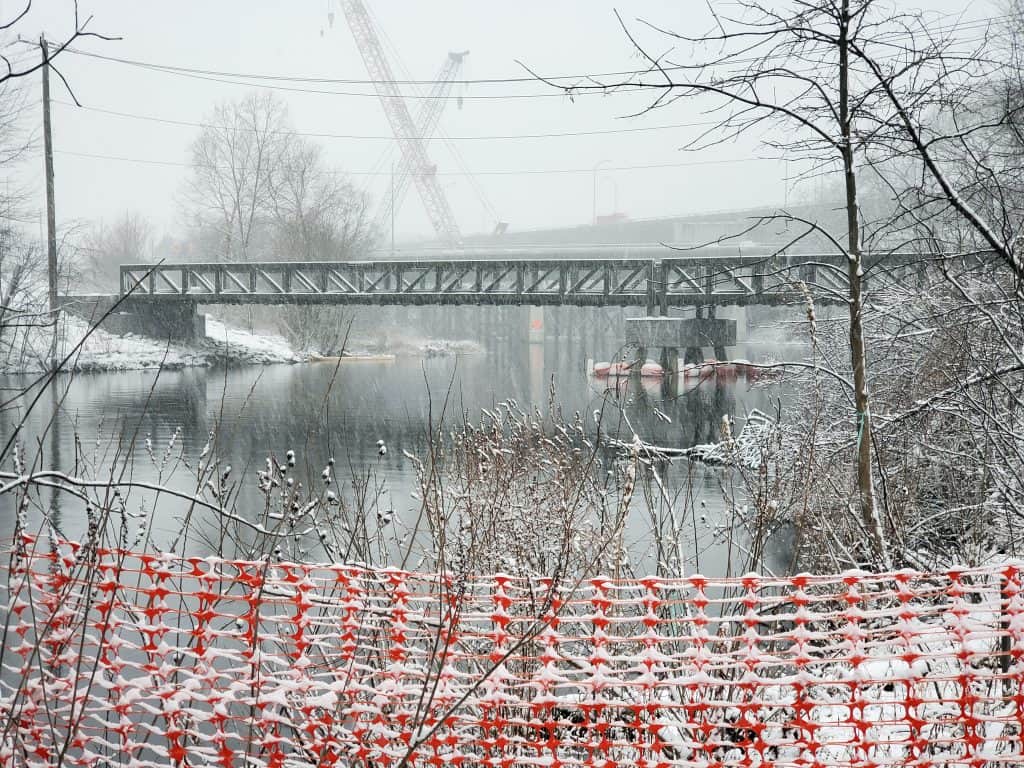
February 2024: View looking downstream towards the intersection of I-90 (Mass Turnpike) and I-95 (Route 128). The Lasell Boathouse is the tan building at right. The western end of the old Boathouse Bridge was near the utility pole at the left. The crane at rear is part of the highway bridge reconstruction work.


